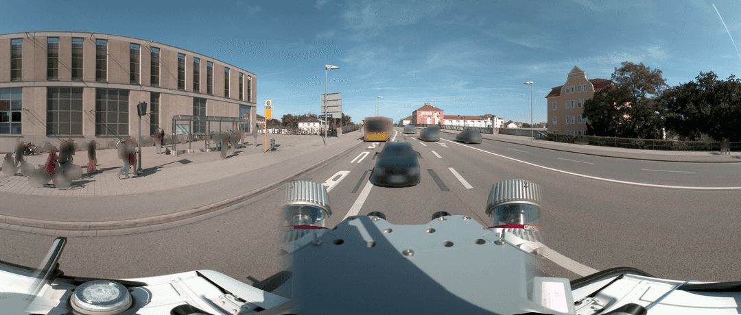
Mobile Mapping Hardware, Software and Datasets
A list of Mobile Mapping Hardware, Software and Datasets
24 January 2022, by Mario Sabatino RiontinoAsk a question

Introduction
Mobile Mapping is the process of collecting geospatial data - images, point cloud, GPS, etc. - using vehicles such as cars, drones, boats, trains, or planes. Its applications range over several use-cases for public and private organizations such as road/rail networks, street asset management, etc.
With this article, we intend to create an introductory list of hardware and software providers that you might choose from, as well as some sample datasets.
Let us know if you want to list your company as well.
List of Mobile Mapping Systems (MMS)
Trimble
RIEGL
Leica
CHC Navigation
NavVis
Topcon
Teledyne
Gexcel
Viametris
Imajing
Siteco Informatica
Hi-Target
Processing Software
The following list gathers in random order some of the well-known pre and post-processing software to handle mobile mapping data.
- Orbit GT
- Leica Cyclone REGISTER 360
- Trimble Business Center
- NavVis IVION
- ClearEdge3D
- TopoDOT
- Terrasolid
- 3DT Scanfly
- imajview®
- Reconstructor
Whereas you store or share images that contain faces and license plates, you should blur them to comply with the major data protection laws (GDPR, CCPA, etc). For more information, check this checklist of things you need to consider when starting with the blurring of panorama and planar images.
List of open source datasets
- Trimble MX7, MX9 and MX50 Sample Datasets
- Mapillary Datasets
- Kappazunder - A Virtual Image of Vienna
- Getmapping Mobile Mapping Data - Point Cloud and Imagery
- EAVISE Mobile Mapping Dataset
- Toronto-3D: A Large-scale Mobile LiDAR Dataset for Semantic Segmentation of Urban Roadways
- Cityscapes Dataset
- ADE20K dataset
Full service providers and others
About Celantur
Celantur offers a fully-automated blurring solution for single and panorama mobile mapping imagery, trusted by enterprises like CHC Navigation and others.
Our technology automatically detects personal data like faces and license plates, and blurs them. ➡️ Give it a try for free
✅ We anonymize all kinds of RGB imagery: planar, cubemap, panorama images and videos
✅ Our cloud platform is capable of anonymizing several 100.000 high-res panoramas images per day and can be deployed on-premise as well.
✅ Industry-grade anonymization quality: detection rate up to 99%
Ask us Anything. We'll get back to you shortly